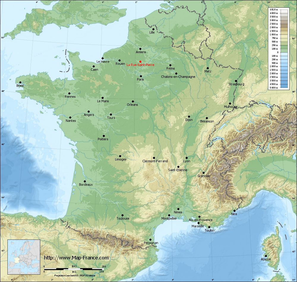
La Rue-Saint-Pierre on the relief France map in Lambert 93 coordinates
|
See the map of La Rue-Saint-Pierre in full screen (1000 x 949)
|
At left, here is the location of La Rue-Saint-Pierre on the relief France map in Lambert 93 coordinates.
Here are the altitudes of La Rue-Saint-Pierre :
- Town hall altitude of La Rue-Saint-Pierre is 62 meters
- Minimum altitude of La Rue-Saint-Pierre is 49 meters
- Maximum altitude of La Rue-Saint-Pierre is 96 meters
- Medium altitude of La Rue-Saint-Pierre is 73 meters
Here are the altitudes of Beauvais, prefecture of Oise department:
- Town hall altitude of Beauvais is 67 meters
- Minimum altitude of Beauvais is 57 meters
- Maximum altitude of Beauvais is 170 meters
- Medium altitude of Beauvais is 114 meters
Here are the altitudes of the french biggest cities:
Paris : 33 meters
Marseille : 20 meters
Lyon : 237 meters
Toulouse : 146 meters
Nice : 10 meters
Nantes : 20 meters
Strasbourg : 144 meters
Montpellier : 35 meters
Bordeaux : 16 meters
Lille : 20 meters
Rennes : 35 meters
Reims : 83 meters
Click here for the terrain map of La Rue-Saint-Pierre in full screen:
Relief map of La Rue-Saint-Pierre
|
This relief map of La Rue-Saint-Pierre is reusable and modifiable by making a link to this page of the Map-France.com website or by using the given code :
|
Terrain base map of La Rue-Saint-Pierre
|

See the terrain base map of La Rue-Saint-Pierre in full screen (1000 x 949)
|
Small relief base map of La Rue-Saint-Pierre

|
This base map of La Rue-Saint-Pierre is reusable and modifiable by making a link to this page of the Map-France.com website or by using the given code :
|
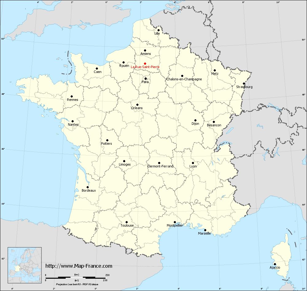
Map of La Rue-Saint-Pierre with regions and prefectures
|
View the map of La Rue-Saint-Pierre in full screen (1000 x 949)
|
You will find the location of La Rue-Saint-Pierre on the map of France of regions in Lambert 93 coordinates. The town of La Rue-Saint-Pierre is located in the department of Oise of the french region Picardie.
Geographical sexagesimal coordinates / GPS (WGS84):
Latitude: 49° 24' 34'' North
Longitude: 02° 17' 45'' East
Geographical decimal coordinates :
Latitude: 49.41 degrees (49.41° North)
Longitude: 2.296 degrees (2.296° East)
Lambert 93 coordinates :
X: 6 489 hectometers
Y: 69 236 hectometers
Lambert 2 coordinates :
X: 5 970 hectometers
Y: 24 902 hectometers
Below, the geographical coordinates of Beauvais, prefecture of the Oise department:
Geographical sexagesimal coordinates / GPS (WGS84):
Latitude: 49° 26' 03'' North
Longitude: 02° 05' 15'' East
Geographical decimal coordinates :
Latitude: 49.435 degrees (49.435° North)
Longitude: 2.082 degrees (2.082° East)
Lambert 93 coordinates :
X: 6 338 hectometers
Y: 69 265 hectometers
Lambert 2 coordinates :
X: 5 819 hectometers
Y: 24 930 hectometers
|
This map of La Rue-Saint-Pierre is reusable and modifiable by making a link to this page of the Map-France.com website or by using the given code :
|
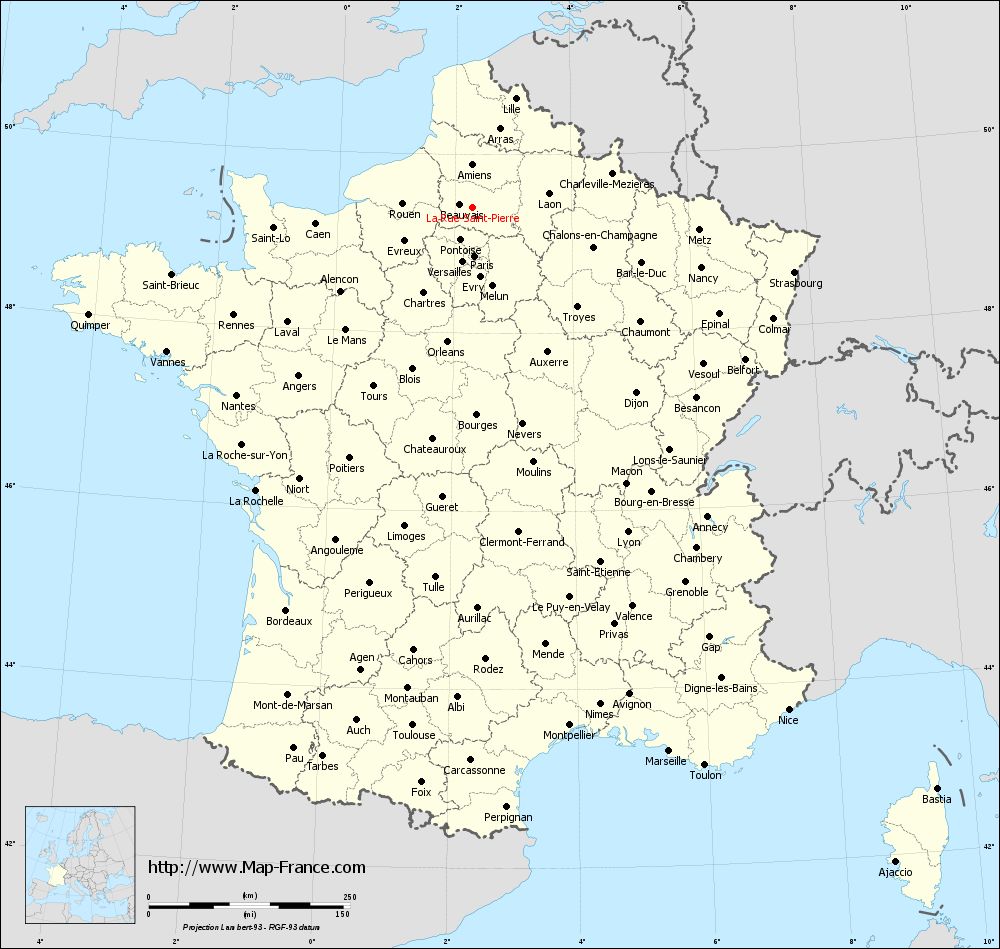
Map of La Rue-Saint-Pierre with departments and prefectures
|
Voir la carte of La Rue-Saint-Pierre en grand format (1000 x 949)
|
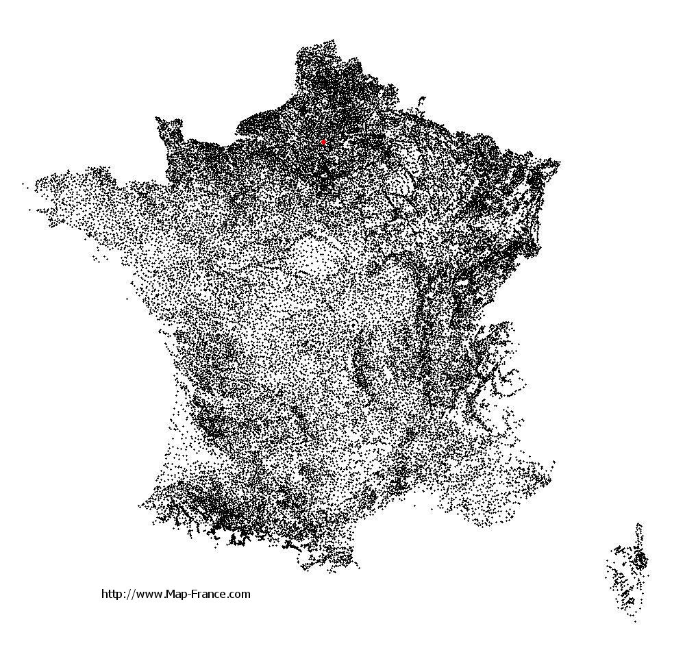
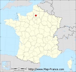
Here is the localization of La Rue-Saint-Pierre on the France map of departments in Lambert 93 coordinates. The city of La Rue-Saint-Pierre is shown on the map by a red point.
The town of La Rue-Saint-Pierre is located in the department of Oise of the french region Picardie.
The latitude of La Rue-Saint-Pierre is 49.41 degrees North.
The longitude of La Rue-Saint-Pierre is 2.296 degrees East.
Here the distance between La Rue-Saint-Pierre and the biggest cities of France:
Distances are calculated as the crow flies (orthodromic distance)
Distance between La Rue-Saint-Pierre and Paris : 61.09 kilometers
Distance between La Rue-Saint-Pierre and Marseille : 719.44 kilometers
Distance between La Rue-Saint-Pierre and Lyon : 447.87 kilometers
Distance between La Rue-Saint-Pierre and Toulouse : 648.72 kilometers
Distance between La Rue-Saint-Pierre and Nice : 738.22 kilometers
Distance between La Rue-Saint-Pierre and Nantes : 374.3 kilometers
Distance between La Rue-Saint-Pierre and Strasbourg : 408.32 kilometers
Distance between La Rue-Saint-Pierre and Montpellier : 655.67 kilometers
Distance between La Rue-Saint-Pierre and Bordeaux : 551.75 kilometers
Distance between La Rue-Saint-Pierre and Lille : 145.53 kilometers
Distance between La Rue-Saint-Pierre and Rennes : 325.14 kilometers
Distance between La Rue-Saint-Pierre and Reims : 126.76 kilometers
Clic here to see the map of La Rue-Saint-Pierre in full screen:
La Rue-Saint-Pierre on the map of french departments
|
This administrative map of La Rue-Saint-Pierre is reusable and modifiable by making a link to this page of the Map-France.com website or by using the given code :
|
Administrative base maps of La Rue-Saint-Pierre
|

See the administrative base map of La Rue-Saint-Pierre in full screen (1000 x 949)
|
Small administrative base map of La Rue-Saint-Pierre
|
This base map administrative of La Rue-Saint-Pierre is reusable and modifiable by making a link to this page of the Map-France.com website or by using the given code :
|
 French Version : http://www.cartesfrance.fr